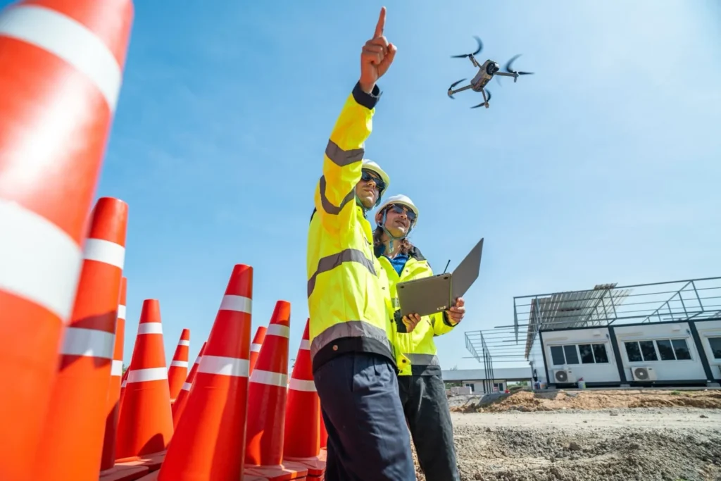

Drone Construction Progress Monitoring & Site Surveying
Drones provide real-time aerial monitoring for construction projects, ensuring that site progress aligns with project timelines. High-resolution drone imagery allows contractors, architects, and project managers to track development, identify delays, and improve workflow efficiency. Aerial construction progress reports help stakeholders make data-driven decisions without requiring on-site visits, saving both time and labor costs.
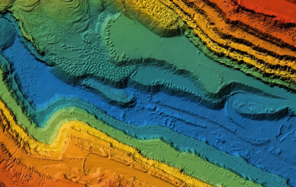
3D Site Mapping & Topographic Drone Surveys
Using LiDAR and photogrammetry, drones generate highly accurate topographic maps that engineers and surveyors use for land assessment, elevation analysis, and infrastructure planning. These 3D site models improve accuracy, efficiency, and safety, replacing traditional ground-based surveying, which can be time-consuming and prone to human error. Drones help construction firms calculate volumes, measure stockpiles, and plan excavation strategies, leading to better resource management and reduced operational costs.
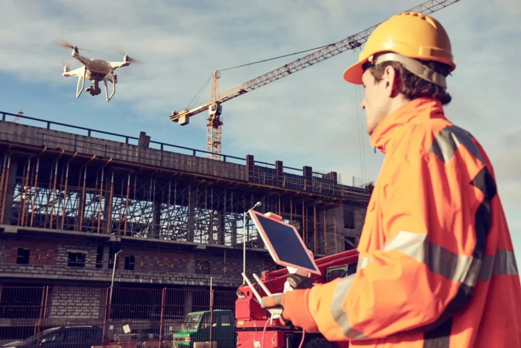
Drone Safety Inspections for Construction Compliance
Worksite safety is paramount in the construction industry, and drones play a vital role in hazard detection, compliance checks, and risk management. Aerial drone inspections help identify structural weaknesses, worker safety violations, and equipment malfunctions without putting human inspectors in harm’s way. With real-time video streaming, drones allow safety officers to conduct remote inspections, ensuring compliance with OSHA regulations and industry standards while reducing workplace accidents.